- This event has passed.
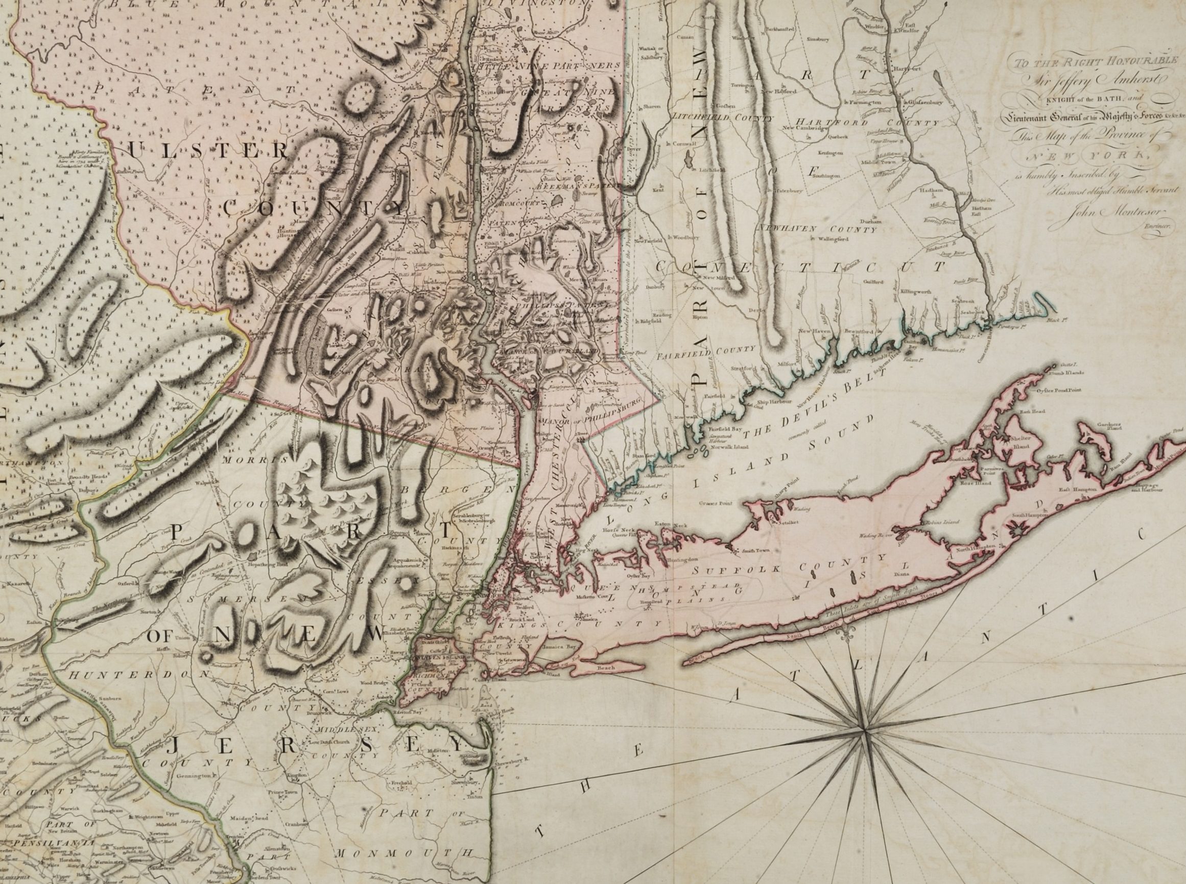
Lunch Bite – A Map of the Province of New York, with Part of Pensilvania, and New England
February 21, 2020 @ 12:30 pm - 1:00 pm

Join Library Assistant Kieran O’Keefe for a discussion of a hand-colored map of New York published in 1775 and of mapmaking in the eighteenth-century Atlantic world. The map was based on a survey conducted by John Montresor, a British military engineer and cartographer. Montresor came to America at the beginning of the French and Indian War and served in the British army throughout the conflict. He continued in America during the first few years of the Revolution. The map primarily details New York but also shows parts of the surrounding colonies of New Jersey, Pennsylvania, Connecticut, Massachusetts and what would later become Vermont. Designed for military use, Montresor placed specific emphasis on lakes, rivers, streams and roads, all of which were vital during wartime. Its central focus is the Hudson River-Lake Champlain corridor, a key waterway during the colonial and early national wars.
The presentation will last approximately 30 minutes with time afterwards for up-close viewing of the map.