- This event has passed.
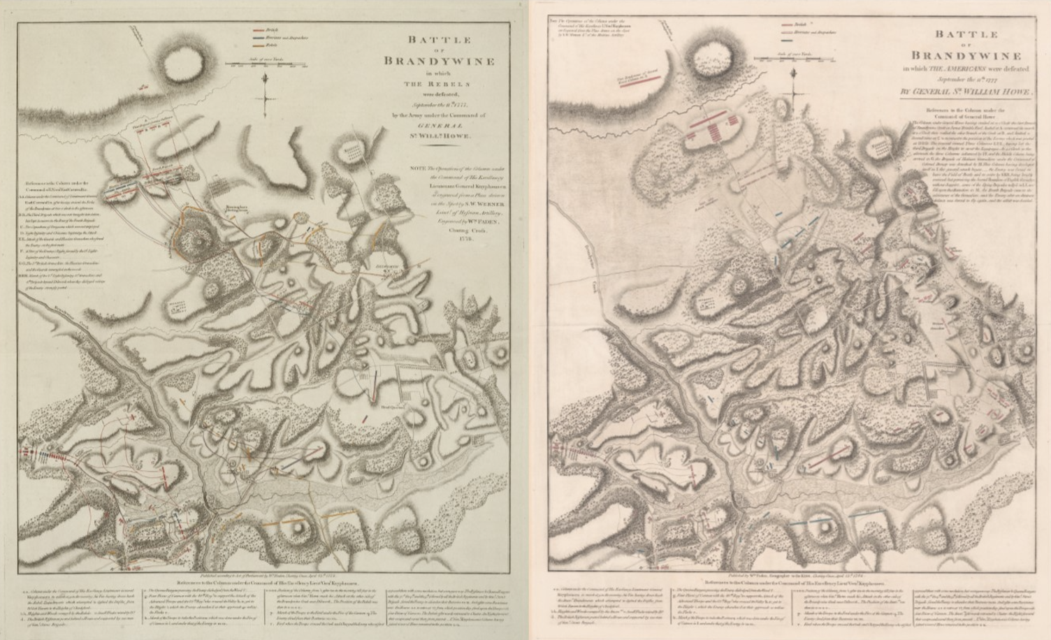
Lunch Bite – William Faden’s 1778 & 1784 maps of the Battle of Brandywine
September 9, 2022 @ 12:30 pm - 1:00 pm

Historical Programs Manager Andrew Outten discusses two maps produced by British cartographer William Faden depicting the Battle of Brandywine. William Faden is well known for his maps of major battles of the Revolutionary War. Unusually, he produced two maps of the Battle of Brandywine, one in 1778 and the other in 1784. Each map shows troop movements and positions along with other aspects of the overall battlefield landscape, but each conveys significantly different information. This Lunch Bite will focus on the Battle of Brandywine, the key differences between the two maps, and the potential reasons for the differences. This presentation will be held in our research library and last approximately 30 minutes.
Registration is requested. To attend the Lunch Bite in-person at Anderson House, or to watch virtually, please use the appropriate form below.
Currently, all visitors to Anderson House age 2 and older are required to wear a mask while attending a historical program or visiting the museum or library. Read our full COVID safety guidelines here.
Click here to attend the Lunch Bite virtually