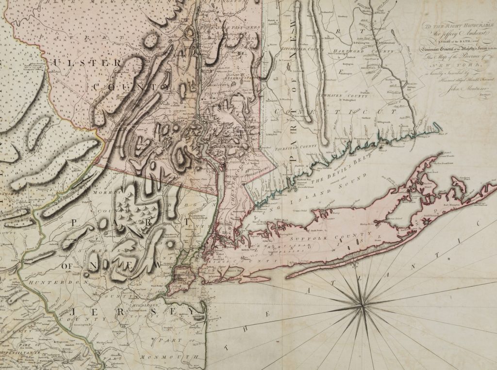
Join Library Assistant Kieran O’Keefe for a discussion of a hand-colored map of New York published in 1775 and of mapmaking in the eighteenth-century Atlantic world. The map was based on a survey conducted by John Montresor, a British military engineer and cartographer. Montresor came to America at the beginning of the French and Indian […]